collect data
seamlessly
easy
field data collection
and sharing
FieldView helps you easily collect, store, and visualize field data — recording every pass throughout the season. You can also upload data seamlessly from flash drives or other systems. You have the option to share your operation’s data with your agronomic partners, making it easy for them to provide informed insights and recommendations.
*For questions about machine compatibility, visit climate.com/compatibility
or contact Climate Support at 1-888-924-7475.
monitor progress in
real time
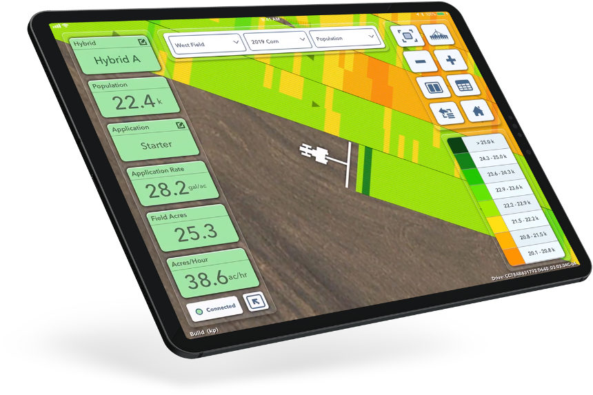
Monitor your progress and spot potential issues in real time as you pass through the field, tracking seed population rate at planting, application rates during growing season, and yield at harvest, so you can get the most out of every crop.
It’s simple for me to remote in to see what’s going on and solve an issue with a phone call instead of driving to the field.
Tim Brand, MO
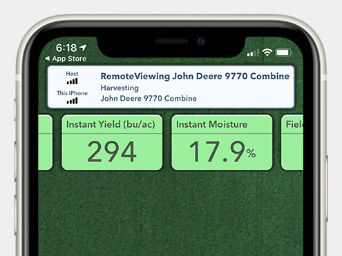
Remote viewing allows you to see maps build even when you’re not in the cab. Available on your iPhone® and iPad® devices.
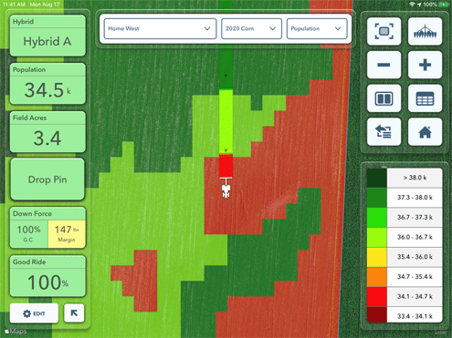
Instantly track seed population and other key data.
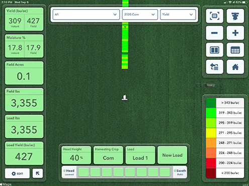
Track yield in real time during harvest.
the power of
partnership
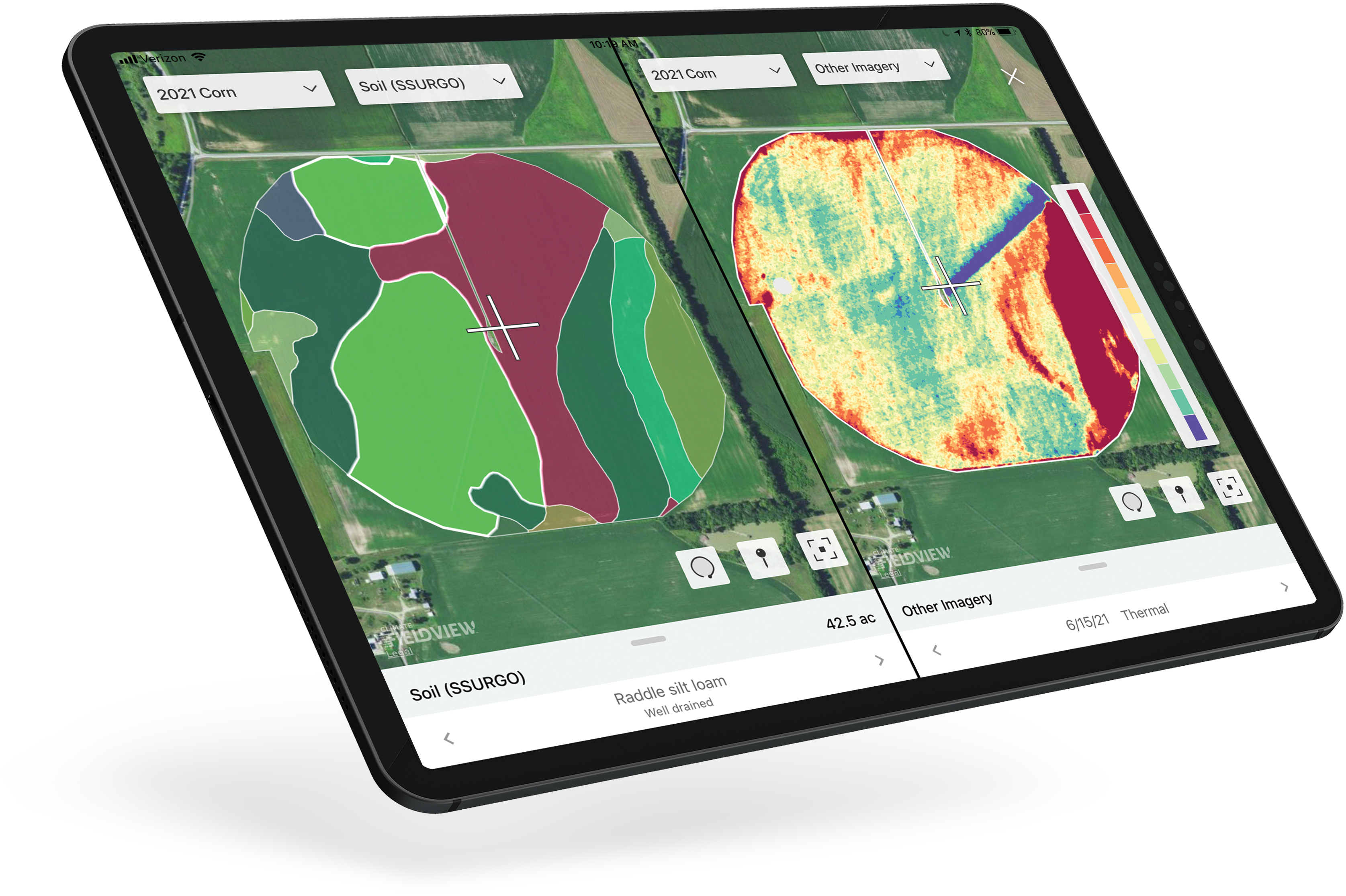
The FieldView platform is the central hub of digital farming innovation, providing you the choice to access to a broad and interconnected set of tools from dozens of platform partners — from aerial imagery, to insurance, soil analysis and more.
Our aerial imagery partner allows us to seamlessly integrate their images into FieldView so we can compare additional map layers for better insights.
Logan Beyke, KY
Our data privacy principles put you in the driver’s seat. Our commitment to data privacy ensures that you own your data, we do not sell your data and you control how your data is shared.
You can connect your data through our partnerships across many industry categories.
Imagery
Equipment
Management
Dealer Solutions
Soil
Insurance
Sensors
Grain Marketing